[ad_1]
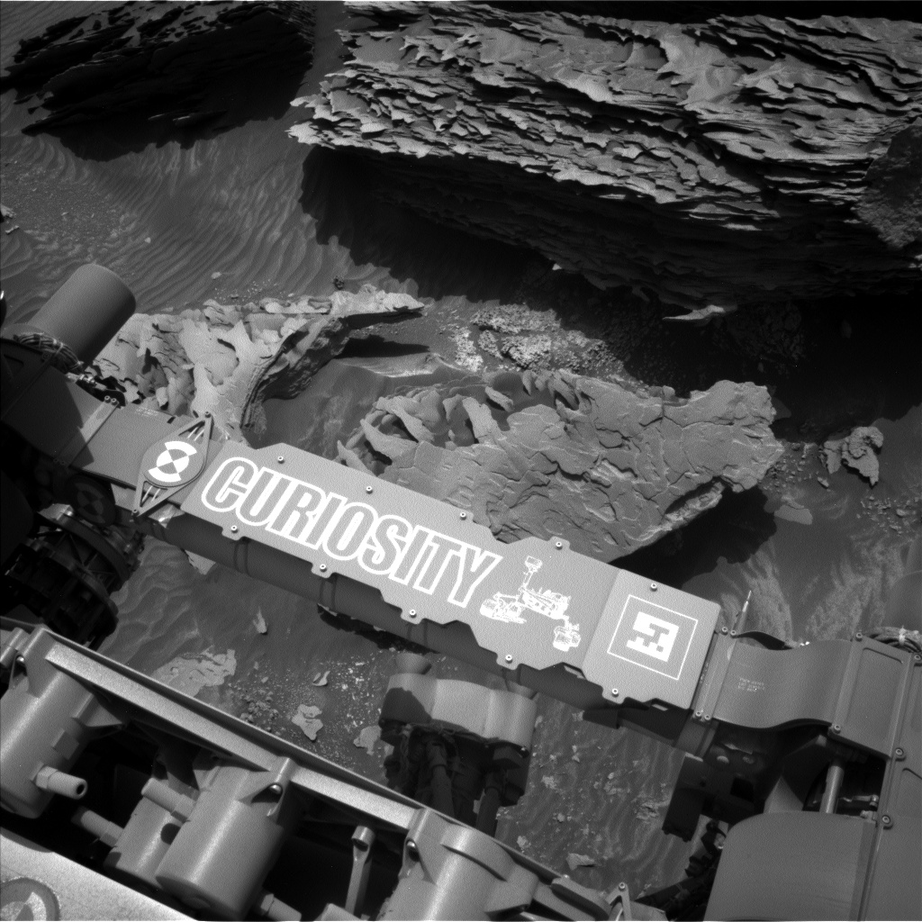
The first science block ends with atmospheric observations, including a dust-devil movie, supra-horizon cloud imaging, and Mastcam measurement of dust in the air across the crater. Curiosity will then use its arm to brush the dust from the closest block in an area dubbed “Pond Lily Lake,” for a petite meadow lake atop the canyon wall of the San Joaquin River, downstream of Devil’s Postpile National Monument. This cleared spot will then be imaged by MAHLI and Mastcam, and its composition will be measured by APXS spectroscopy. MAHLI will perform an intricate “dog’s eye” maneuver to obtain detailed images of ripples in “Window Cliffs,” named after sheer walls above the spectacular fault-controlled Kern River canyon west of 14,505-foot Mount Whitney, the tallest peak in the lower 48 states. MAHLI wraps up a very full day of work by imaging the scalloped edge of the largest nearby block, dubbed “Boneyard Meadow” for a wetland in the western Sierra foothills where many sheep sadly perished due to a late spring snowstorm in 1877.
[ad_2]
Source link


No comments! Be the first commenter?